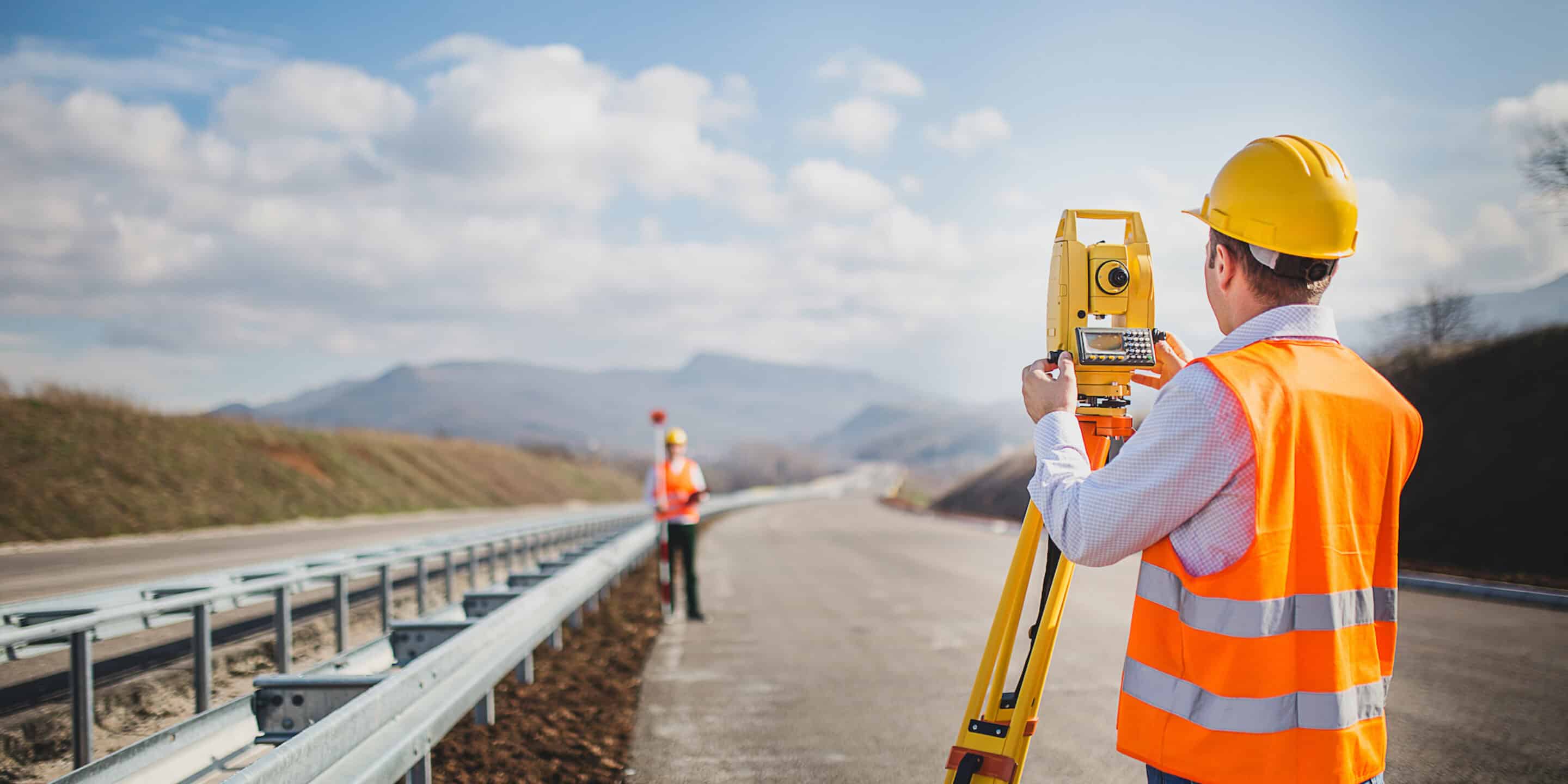
Land surveying has been around since the dawn of human civilization. Records suggest that ancient Egyptians used surveying during the construction of pyramids and other civic structures.
The practice is prevalent to this day. Whether building a new bridge or a new road, land surveying is considered one of the preliminary activities. And land surveyors play a key role in land mapping, planning, and design to pave the final construction, utility, and landscaping.


What is land surveying?
Land surveying involves mapping and measuring the physical features of land using the latest technology, equipment, and math principles. Land surveyors map everything, from natural terrain and water bodies to man-made structures like buildings, bridges, and roads, accurately representing the land’s boundaries, dimensions, and topography.
The data from land surveying is used for various purposes, such as property development, construction, and land-use planning.
Not only does surveying help move the project in the right direction, but it also helps to determine the land quality early on. Giving land surveying an afterthought often leads to delays and overheads and compromises the safety of the project. But that’s not all. Let’s dive into how land surveying makes a difference in infrastructure development.
During the infrastructure development, surveyors map out the land to determine the appropriate locations for every structure. They will consider the factors like land topography, potential environmental impact, and the presence of natural resources.
Also, the experts use the measurements to help engineers and architects develop the structures. This ensures that the structures are efficient and safe.
Infrastructure projects require accurate land measurements to ensure that the project is built on the correct property lines and meets zoning and building codes. A land surveyor can determine the exact dimensions of the land, as well as any easements, rights-of-way, or encroachments that may impact the project.
Experts use various tools to measure the boundaries properly, including GPS technology, laser levels, distance measurement devices, etc. These tools help the land surveyors to measure the angles and distances used to curate the legal descriptions and maps.
Land surveying is also pivotal in ensuring an infrastructure development project doesn’t hamper public safety. Before the construction starts, surveyors can identify potential hazards, including unstable ground, steep slopes, flood-prone areas, etc., while providing recommendations to mitigate the risks.
Data collected by the surveyors help to create a proposal. It shows whether the infrastructure will be safe for the public. The expert can use a 3D simulation with a drone survey to show how the structure would impact the environment. For example, engineers can adjust their proposals to support their claims if a new road has the probability of soil erosion or water flow.
Land surveying helps identify environmental considerations that need to be considered during infrastructure development. Land surveyors can identify environmentally sensitive areas, such as wetlands or habitats for endangered species. This information can be used to ensure the project is designed to minimize its impact on the environment. It can also help detect the vulnerability related to human activity, including pipeline construction and hazardous material storage, etc.
Land surveying is often required by law for infrastructure projects. For example, many municipalities require land surveys for building permits, zoning changes, and other types of development. Land surveyors ensure that these legal requirements are met and that the project complies with all relevant regulations.
One of the most obvious benefits of land surveying is cost savings during infrastructure development. Accurate mapping and identification of potential hazards or obstacles can help to avoid costly mistakes and delays during construction. This can save time and money in the long run.
Those were some of the biggest reasons why land surveying is critical in building the infrastructure we need to thrive as a society. It’s not just about measuring distances or marking property lines, but it’s about ensuring that every infrastructure project is built safely, efficiently, and in compliance with legal and environmental regulations.
This website uses cookies.